
Automatically apply for jobs with Zippia
Upload your resume to get started.
Cartographic technician skills for your resume and career
15 cartographic technician skills for your resume and career
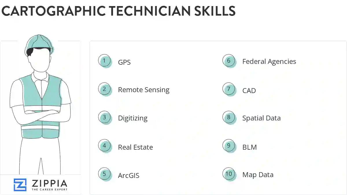
1. GPS
GPS stands from Global Positioning System. It is a navigation system comprising of satellites that helps in determining the location, velocity, and synchronize time data for different modes of travel like air, sea, or land.
- Updated and digitized boundary lines, Geo-coded GPS samples, ran table summaries, published Map Documents.
- Developed Digitized map databases using Tiger data, aerial photos, and primary GPS data layers.
2. Remote Sensing
- Analyzed remote sensing data using ArcGIS and ENVI software.
- Produced maps for several city departments, collected remote sensing data, and assessed accuracy of GIS layers.
3. Digitizing
- Involved all aspects of digitizing, coding, and quality control required for production of digital mapping products.
- Perform processing and digitizing duties on the rare occasion when time permits.
4. Real Estate
Real estate is land that has buildings on it. This kind of property consists of permanent improvements either natural or man-made, which include, houses, fences, bridges, water trees, and minerals. There are 4 types of real estate namely; residential real estate, commercial real estate, industrial real estate, and vacant land.
- Assisted system analyst in the creation and manipulation of electronic raster imaging files involving real estate information.
- Performed preliminary and final plotting and drafting of all types of Real Estate maps and drawings utilizing AutoCAD and Arc-Map GIS.
5. ArcGIS
- Developed maps using ArcGIS that were used by coastal vessels to navigate around dangerous areas and objects.
- Created data layers, maps, tables, and reports using ArcGIS Desktop.
6. Federal Agencies
Federal agencies are specialized departments of government set up by the government to perform specific duties. They can have responsibilities such as management of resources, overlooking of financial position of industries, national security issues, and so on.
- Shipped digital aerial photos to state and federal agencies.
Choose from 10+ customizable cartographic technician resume templates
Build a professional cartographic technician resume in minutes. Our AI resume writing assistant will guide you through every step of the process, and you can choose from 10+ resume templates to create your cartographic technician resume.7. CAD
- Assisted contractors by using CAD systems to digitize intermediate contours on flat terrain models and helped to otherwise troubleshoot problem models.
- Created annual zoning and subdivision maps involving aerial and tax map products through CAD.
8. Spatial Data
Spatial data refers to data that directly or indirectly represents a particular geographical location on the earth's surface. Based on the storing technique, spatial data can be classified in two categories, namely raster data and vector data. The former includes grid cells identified by column and row, while the latter is made of polylines, points, and polygons.
- Operate GIS hardware and software to acquire, analyze, collect, convert, and manage spatial data.
- Updated a spatial database engine with geographic information of Public Works assets.
9. BLM
BLM, an acronym for Black Lives Matter is an international decentralized activist and social movement, originating in the African-American community that protests against violence, discrimination and inequality of mental health, the LGBT community and voting rights, police brutality, and systemic racism toward black people.
- Analyzed the needs of specialists by the work that is required of them in the BLM.
- Digitized and edited the grazing allotments that BLM had on their plat maps.
10. Map Data
- Created the first navigable digital map database used in automobiles working with a team of 75+ digital cartographers.
- Digitized map data from orthorectified aerial photography and field-collected survey data, using proprietary mapping software on a UNIX platform.
11. Data Collection
Data collection means to analyze and collect all the necessary information. It helps in carrying out research and in storing important and necessary information. The most important goal of data collection is to gather the information that is rich and accurate for statistical analysis.
- Supervised student interns in field data collection and cartographic principles.
- Maintained office PC's, measuring equipment, and data collection PDA's.
12. Esri
The ESRI (Environmental Systems Research Institute) is a worldwide provider of geographic data framework (GIS) programming, web GIS and geodatabase the board applications.
- Produced standard and custom maps using ESRI GIS software for oil and gas industry.
- Evaluated Trimble Positions software suite and ESRI ArcPad 10.0.4 for reliability and technical soundness.
13. Digital Data
- Update county soil surveys and convert hardcopy data into digital datasets for the SSURGO program.
14. Aerial Photographs
- Utilized aerial photographs to compose Geographical Information Systems.
- Verified measurements and drawings using aerial photographs.
15. Map Products
- Involved in compilation and production of map products primarily for textbooks.
- Provide as needed assistance to both internal and external customers regarding survey plat interpretation, producing map products and website navigation.
5 Cartographic Technician resume examples
Build a professional cartographic technician resume in minutes. Browse through our resume examples to identify the best way to word your resume. Then choose from 5+ resume templates to create your cartographic technician resume.

What skills help Cartographic Technicians find jobs?
Tell us what job you are looking for, we’ll show you what skills employers want.
List of cartographic technician skills to add to your resume
The most important skills for a cartographic technician resume and required skills for a cartographic technician to have include:
- GPS
- Remote Sensing
- Digitizing
- Real Estate
- ArcGIS
- Federal Agencies
- CAD
- Spatial Data
- BLM
- Map Data
- Data Collection
- Esri
- Digital Data
- Aerial Photographs
- Map Products
- Data Layers
- LiDAR
- Base Maps
- Arcview
- USGS
- Google Earth
- Photogrammetric
- Legal Descriptions
- Spatial Analysis
- BAS
- Python
- DEM
Updated January 8, 2025