
Automatically apply for jobs with Zippia
Upload your resume to get started.
Geographic information systems manager skills for your resume and career
14 geographic information systems manager skills for your resume and career
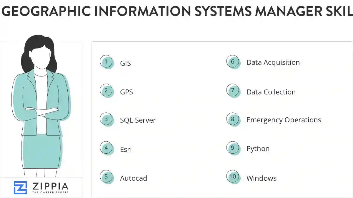
1. GIS
A geographic information system (GIS) is a tool for capturing, storing, manipulating, analyzing, managing and presenting various forms of geographic data.
- Performed all project scheduling, coordination, quality assurance, and training for all drafting and GIS projects.
- Formulated GIS budgets and negotiated with regional program managers for contract resources to support specific GIS project efforts.
2. GPS
GPS stands from Global Positioning System. It is a navigation system comprising of satellites that helps in determining the location, velocity, and synchronize time data for different modes of travel like air, sea, or land.
- Track the Utility Line Locators' work and coordinate GPS data collection.
- Trained field personnel on the data collection methods using GPS.
3. SQL Server
- Consolidated different systems containing customer information and complex calculations into one system running on MS SQL server.
- Have excellent knowledge of SQL Server database administration and development in windows environment.
4. Esri
The ESRI (Environmental Systems Research Institute) is a worldwide provider of geographic data framework (GIS) programming, web GIS and geodatabase the board applications.
- Planned and implemented mobile workforce rollout which consisted of iPads and ESRI software.
- Create a customized spatial analysis model using ESRI Model Builder to determine optimum placement of tornado warning sirens.
5. Autocad
- Develop AutoCad standard templates for increased production.
- Used AutoCAD Map 3D in conjunction with ArcGIS to create appealing and functional map analyses.
6. Data Acquisition
Data acquisition involves getting real-time values and digital, numerical representations of everyday activities and physical conditions. These values can be altered and manipulated by a computer to get accurate results that can be used to solve problems, answer questions, or reapplied into everyday activities.
- Coordinated geologic and paleontologic data acquisition with USGS, California Geologic Survey and other State Agency officials.
- Implemented real-time data acquisition workflow with ArcGIS Online, Arc Server and a company-wide ArcSDE (Enterprise) database.
7. Data Collection
Data collection means to analyze and collect all the necessary information. It helps in carrying out research and in storing important and necessary information. The most important goal of data collection is to gather the information that is rich and accurate for statistical analysis.
- Developed and managed GPS data collection methods for existing facility inventories and new construction as-built.
- Managed all data collection and analysis for large scale archaeological surveys and excavations.
8. Emergency Operations
- Establish effective workflows to streamline the use of geographic information systems during Emergency Operations Center (EOC) activation.
- Selected contributions: Prepared mapping templates for the Emergency Operations Center.
9. Python
Python is a widely-known programming language. It is an object-oriented and all-purpose, coding language that can be used for software development as well as web development.
- Provided DBA and Python programming support for scientist and engineers.
- Used Python scripting to update, standardize, and consolidate GIS data for use in custom on-line maps.
10. Windows
Windows is a chain of operating systems that controls a computer and is developed by Microsoft. Every version of Windows consists of GUI (graphical user interface), with a desktop that allows the user to open their files.
- Resolved technical performance and efficiency conditions on UNIX, Windows, and DOS systems.
- Managed Windows web and application servers.
11. Aerial Photography
- Developed and implemented guidelines and procedures for alignment of ortho-aerial photography to parcel database.
12. Desktop
The term desktop commonly refers to the desktop computer also called a personal computer. A PC is named after a desktop as it is placed on or under the desk. A desktop computer consists of different accessories such as CPU, monitor, mouse, keyboard, speakers, etc. The desktop also refers to the graphical user interface that appears on a computer, displaying all the icons on the monitor screen.
- Developed integrated data visualization applications with web & desktop technologies and enterprise database systems.
- Deployed and maintained ESRI ArcGIS Desktop 10.x for staff power users.
13. Digitizing
- Maintained spatial geodatabases of easements for the Muscatine Area including creating new features by on-screen digitizing from COGO coordinates.
14. Data Management
The administrative process that involves collecting and keeping the data safely and cost-effectively is called data management. Data management is a growing field as companies rely on it to store their intangible assets securely to create value. Efficient data management helps a company use the data to make better business decisions.
- Managed and developed a successful Implementation team for Electronic Data Management System that managed scanned image of mapping assets.
- Train and supervise 5 interns to support GIS instruction, data management and project support based on user needs.

What skills help Geographic Information Systems Managers find jobs?
Tell us what job you are looking for, we’ll show you what skills employers want.
What skills stand out on geographic information systems manager resumes?
Dr. Christopher Brown Ph.D.
Professor, New Mexico State University
-Cartographic skills
-Basic scripting skills - Arcade and Arc-Python
-Basic RS analysis
-Basic GDB file management
-Ability to capture data with remote devices in the field and bring these data into desktop or Web environment
What soft skills should all geographic information systems managers possess?
Dr. Christopher Brown Ph.D.
Professor, New Mexico State University
-Ability to lay out priorities and manage time to get them done
-Ability to work in groups
-Ability to present ideas in a clear manner, both in writing and orally.
What hard/technical skills are most important for geographic information systems managers?
Dr. Christopher Brown Ph.D.
Professor, New Mexico State University
What geographic information systems manager skills would you recommend for someone trying to advance their career?
Ronald Dorn
Associate Director, Arizona State University
List of geographic information systems manager skills to add to your resume
The most important skills for a geographic information systems manager resume and required skills for a geographic information systems manager to have include:
- GIS
- GPS
- SQL Server
- Esri
- Autocad
- Data Acquisition
- Data Collection
- Emergency Operations
- Python
- Windows
- Aerial Photography
- Desktop
- Digitizing
- Data Management
Updated January 8, 2025