
Automatically apply for jobs with Zippia
Upload your resume to get started.
Geospatial analyst skills for your resume and career
15 geospatial analyst skills for your resume and career
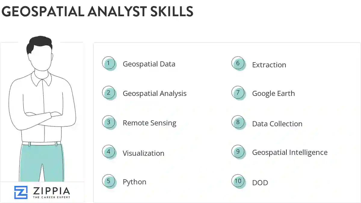
1. Geospatial Data
Geospatial data refers to the data that represents both, natural and manmade objects feature on the surface of the earth. Also known as special data, it carries information about the specific location of objects on the globe. It can be used to create 3D models of the atmosphere that can point out clouds and obtain a birds-eye view of Earth through high-resolution imagery.
- Collected diverse intelligence and geospatial data to produce and disseminate intelligence products, surveillance reporting, and foreign military threat identification.
- Collaborated with other military and government agencies to disseminate geospatial data, and coordinated the deployment of operation assets and equipment.
2. Geospatial Analysis
- Performed geospatial analysis and visualization using infrastructure vectors on ArcGIS (Aeronautical Reconnaissance Coverage Geographic Information System).
- Provided technical input on how to use geospatial analysis to solve complex military and intelligence problems.
3. Remote Sensing
- Supervised the production of digital imagery and remote sensing products from multiple high resolution satellite data sources.
- Used a variety of remote sensing and ancillary source material for analysis and photo interpretation.
4. Visualization
- Created visualization maps and figures to show regional inequality in China.
- Created visualization maps to show regional inequality.
5. Python
Python is a widely-known programming language. It is an object-oriented and all-purpose, coding language that can be used for software development as well as web development.
- Developed a series of automated GIS tools using Python to check in and export ArcSDE water utility data.
- Served (and continue to serve) as an agency level subject matter expert on Python scripting.
6. Extraction
- Performed feature extraction and digitization, feature and attribute manipulation, and file format conversion.
- Processed/analyzed imagery to be used for feature extraction and image map production.
Choose from 10+ customizable geospatial analyst resume templates
Build a professional geospatial analyst resume in minutes. Our AI resume writing assistant will guide you through every step of the process, and you can choose from 10+ resume templates to create your geospatial analyst resume.7. Google Earth
- Created a training plan for Google Earth Enterprise Client and taught classes for National 2013 ICE-X training.
- Prepare products for briefing using SocetGXP, Falcon View, Google Earth, and Power Point.
8. Data Collection
Data collection means to analyze and collect all the necessary information. It helps in carrying out research and in storing important and necessary information. The most important goal of data collection is to gather the information that is rich and accurate for statistical analysis.
- Demonstrated data collection expertise, networking capabilities and expertise in addressing advanced GIS problem sets.
- Coordinated with senior staff members to identify data collection/production priorities.
9. Geospatial Intelligence
- Worked on both feature data extractions in multiple content specifications for Geospatial Intelligence applications, and on numerous Cartographic projects.
- Disseminated finished GMTI/Geospatial intelligence products for All-Source Analyst's across the Military, Intelligence, and Policy-making community.
10. DOD
Definition of Done (DoD) is a set of deliverables that are needed to devise software. These deliverables are valuable to the system and can be exemplified by writing code, coding comments, unit testing, integration testing, design documents, release notes, and so on.
- Coordinated with and advised DoD civilian and military supervisors concerning product quality control, personnel training, and upgrading.
- Collaborated and interacted with analysts within military components and DoD and national intelligence agencies.
11. Esri Arcgis
- Preformed administrative tasks related to the ESRI ArcGIS Server and SDE environments.
- Use of ESRI ArcGIS 9.3.1.
12. ArcSDE
- Use ArcSDE and Oracle DBA Studio to load and administer vector and raster data in a relational database environment.
- Developed, manipulated, and maintained NGA digital databases over regional areas of interest using ArcGIS and ArcSDE.
13. Satellite Imagery
Satellite imagery refers to the images of the earth and/or other planets captured using artificial satellites and operated by businesses and governments around the world. These images are used to forecast the behavior of the planet and draw out clear and accurate information about how events on a particular planet unfold.
- Monitored satellite imagery and developed organizational database(s) in support of classified humanitarian, military, and governmental missions.
- Populate intelligence databases using precise measurement techniques, satellite imagery, digital terrain data, cartographic data and intelligence databases.
14. Intelligence Reports
- Drafted over 300 intelligence reports, ensuring 100 percent accuracy and better information-sharing throughout the Area of Responsibility.
- Maintained GIS databases by regularly updating cartographic information with new intelligence reports and data.
15. GEOINT
- Performed GEOINT analysis to support decision-making and policy needs of the Intelligence Community.
- Conducted GEOINT analysis in support of defense and intelligence operations.
5 Geospatial Analyst resume examples
Build a professional geospatial analyst resume in minutes. Browse through our resume examples to identify the best way to word your resume. Then choose from 5+ resume templates to create your geospatial analyst resume.

What skills help Geospatial Analysts find jobs?
Tell us what job you are looking for, we’ll show you what skills employers want.
What geospatial analyst skills would you recommend for someone trying to advance their career?
Nathan Manser Ph.D.![]()
Lecturer of Geological and Mining Engineering, Faculty Advisor to Innovative Global Solutions Enterprise, Michigan Technological University
What type of skills will young geospatial analysts need?
Candice Luebbering Ph.D.![]()
Executive Director, GISCI
List of geospatial analyst skills to add to your resume
The most important skills for a geospatial analyst resume and required skills for a geospatial analyst to have include:
- Geospatial Data
- Geospatial Analysis
- Remote Sensing
- Visualization
- Python
- Extraction
- Google Earth
- Data Collection
- Geospatial Intelligence
- DOD
- Esri Arcgis
- ArcSDE
- Satellite Imagery
- Intelligence Reports
- GEOINT
- IC
- PowerPoint
- Erdas Imagine
- Spatial Data
- National Security
- ISR
- Geospatial Products
- NGA
- Digital Data
- SIGINT
- LiDAR
- Intelligence Products
- SQL
- GPS
- Reconnaissance
- Spatial Analysis
- Data Analysis
- Arc GIS
- NTM
- Imagery Products
- Imagery Analysis
- Direct Support
- Vector Data
- Situational Awareness
- Digitizing
- Military Operations
- Socet GXP
- SME
- Target Development
Updated January 8, 2025