
Automatically apply for jobs with Zippia
Upload your resume to get started.
Survey crew chief skills for your resume and career
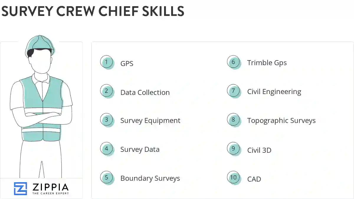
15 survey crew chief skills for your resume and career
1. GPS
GPS stands from Global Positioning System. It is a navigation system comprising of satellites that helps in determining the location, velocity, and synchronize time data for different modes of travel like air, sea, or land.
- Volunteered on 14-day USGS river corridor survey performing static GPS and traverse survey along Colorado River in Grand Canyon National Park.
- Run 2-3 man crew, Construction Survey using GPS, Robotics, and Digital Level - Road & Bridge construction surveying.
2. Data Collection
Data collection means to analyze and collect all the necessary information. It helps in carrying out research and in storing important and necessary information. The most important goal of data collection is to gather the information that is rich and accurate for statistical analysis.
- Supervised data collection and crew assignments for preliminary boundary and topographic surveys.
- Operated data collection and coordinate measuring devices for preliminary highway design.
3. Survey Equipment
Survey equipment is any tool that is used to survey a certain land area. It can include magnetic locators, GPS equipment, theodolite, compasses, surveying bipods, and tribrachs. Even drones can be a type of survey equipment, since they can be used to measure land area.
- Performed observations and compared, standardized, and calibrated survey equipment.
- Order equipment and supplies as needed for the field as well as maintaining survey equipment.
4. Survey Data
Survey Data is characterized as the resultant information that is gathered from an example of respondents that took a review. This information is complete data assembled from an intended interest group about a particular theme to lead research. There are numerous techniques utilized for overview information assortment and factual investigation.
- Obtained land survey data, such as angles elevations, points and contours, using theodolite and other survey instruments.
- Set the locations for new monuments in 4 counties by extrapolating prior survey data from the 1830s to present.
5. Boundary Surveys
- Performed boundary surveys, subdivision layouts, topographic surveys and underground utility staking for construction crews.
- Managed outdoor affairs of business o Boundary and elevation surveys o Generated CAD plats for Boundary Surveys
6. Trimble Gps
- Operate GPS equipment staking preliminary pipeline, locating.
- Established runway heading on new D/FW Surface 88 GPS values and construction of at least four control monuments for contractor layout.
Choose from 10+ customizable survey crew chief resume templates
Build a professional survey crew chief resume in minutes. Our AI resume writing assistant will guide you through every step of the process, and you can choose from 10+ resume templates to create your survey crew chief resume.7. Civil Engineering
Civil Engineering is a term referring to the branch of the engineering industry which deals with the design, creation, and keep up of public spaces such as roads, dams, parks, railways, pipelines, and various other infrastructures. It is one of the oldest branches of this field, having been born with the first larger cities and civilizations; thus "civil" engineering. It is an industry generally used to solve the problems of the public, such as a lack of sheltering or low cleanliness.
- Design and drafting for Civil Engineering and Land Surveying projects from small to very large and complex.
- Assisted, scheduled and supervised field crews for survey and civil engineering projects.
8. Topographic Surveys
- Staked pipelines and pipeline right-of-ways, topographic surveys and x-sectioning.
- Conducted numerous property and topographic surveys.
9. Civil 3D
Civil 3D is computer software that allows architects and engineers to plan and design structural engineering projects. An architectural design crafted through civil 3D software is also supported by Computer-Aided Designs (CAD) and Building Information Modelling (BIM). The software makes it easy for architects and engineers to correct any potential flaws and make changes in the structural design of a building quickly and efficiently.
- Survey Office work, CAD, LDD, Civil 3D Drafting, Maps drawing works.
- Reviewed Autocad Civil 3d work with the draftsman to ensure models accurately depicted conditions in the field.
10. CAD
- Managed the Land Surveying and CAD departments, training and managing up to 14 staff member including draftsmen and field engineers.
- Communicate daily reports and data collected in the field to office supervisors and CAD development staff.
11. Construction Layout
A construction layout is a process whereby a building contractor interprets a building plan and then marks with stakes the different locations of all elements on the building site. To achieve the best result, the construction layout must be accurate and consistent.
- Performed construction layout for roads and buildings, including underground utilities (water main, sanitary, storm, electrical)
- Lead surveyor on construction layout of Erickson Retirement Community's Welcome Center site in St Louis, Mo.
12. GIS
A geographic information system (GIS) is a tool for capturing, storing, manipulating, analyzing, managing and presenting various forms of geographic data.
- Worked with dive crews on offshore pipeline projects, American Inland Divers * Mapping project in copper mine for GIS system.
- Stored data in geographic information systems (GIS) and activities such as enquiries, reports and plot production.
13. Construction Surveys
- Allocated company resources to complete American Land Title Association surveys (ALTA), design build, and construction surveys.
- Assisted or lead one, two & three person crews performing field measurements for topographic, boundary & construction surveys.
14. Work Ethic
- Demonstrated great work ethic with little supervision.
15. Survey Projects
- Assisted PLS with all civil survey projects, while working with Engineers and Manager to complete projects under budget.
- Worked on boundary and layout survey projects for residential and commercial customers in the metro Detroit area.
5 Survey Crew Chief resume examples
Build a professional survey crew chief resume in minutes. Browse through our resume examples to identify the best way to word your resume. Then choose from 5+ resume templates to create your survey crew chief resume.

What skills help Survey Crew Chiefs find jobs?
Tell us what job you are looking for, we’ll show you what skills employers want.
List of survey crew chief skills to add to your resume
The most important skills for a survey crew chief resume and required skills for a survey crew chief to have include:
- GPS
- Data Collection
- Survey Equipment
- Survey Data
- Boundary Surveys
- Trimble Gps
- Civil Engineering
- Topographic Surveys
- Civil 3D
- CAD
- Construction Layout
- GIS
- Construction Surveys
- Work Ethic
- Survey Projects
- RTK
- Construction Sites
- Construction Stakeout
- PLS
- As-Built Surveys
- Survey Instruments
- GNSS
- Legal Descriptions
- Crew Chiefs
- Carlson
- Leica
- Topcon
- Construction Projects
- Control Surveys
- Alta
- Property Corners
- TDS
- Electronic Measuring Devices
- Property Lines
- Deed Research
- Descriptive Data
- Conduct Surveys
- Control Points
- Commercial Development
- Survey Measurements
- Wetland
- Photogrammetric
- Electronic Distance Measuring
Updated January 8, 2025